LANDFIRE BpS Models and Descriptions
What Are They?
A Biophysical Setting (BpS) is a concept that represents the vegetation that may have been dominant on the landscape prior to European colonization of North America and is based on both the current biophysical environment and an approximation of the historical disturbance regime. LANDFIRE collaborated with experts around the country to create a description and model for every BpS it mapped across the US.
The following two components represent a LANDFIRE BpS model and description:
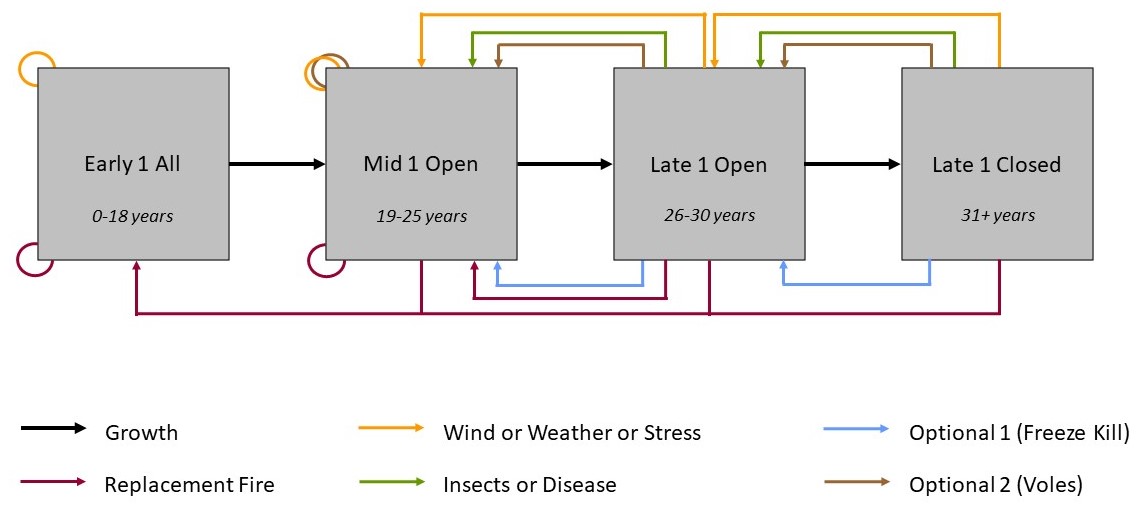
- a quantitative state-and-transition simulation model that quantifies the rate of growth and the probability of disturbances for a BpS.
- a description document that describes how ecosystems looked and functioned prior to European colonization of North America.
Together each model and description represent a BpS.

Why integrate BpS into your work?
These products were developed by LANDFIRE to support objectives related to mapping historical vegetation patterns and fire regimes, and for evaluating landscape conditions through a vegetation departure metric. Beyond LANDFIRE, the BpS models and descriptions have been used to:
- Understand and communicate vegetation dynamics to landscape stakeholders.
- Evaluate current landscape conditions.
- Compare management scenarios.
- Investigate and compare the costs and benefits of management scenarios.

